Hello everyone, I wanted to kick off a discussion on geochemical data analysis workflows.
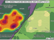
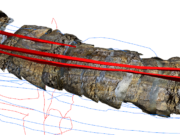
When setting up a standard 100×100 meter soil sampling plan, processing the initial surface data alongside drilling logs can get messy. Moving data between ioGAS for geochemical targeting and Leapfrog Geo for 3D block modeling often requires some careful coordinate referencing and formatting to avoid import errors.
What is your preferred workflow for streamlining this process? Do you rely on specific macro scripts in ioGAS before bringing the raw CSVs into Leapfrog? Let’s share some best practices.


.