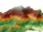
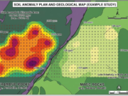
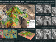
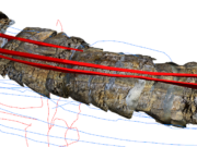
Drones have become an indispensable tool in our exploration arsenal. I’ve found that using hardware like the DJI Mavic 2 Pro is highly effective for coordinating the transmission of coordinates, taking high-res photographs of gallery sites, and planning upcoming drilling well locations in rugged terrains.
However, maintaining consistent photogrammetry overlap in areas with high topographical relief can be tricky. What flight planning software or specific drone setups are you guys using for your field surveys?


.