Top 10 Essential QGIS Plugins for Mineral Exploration Geologists
1.Semi-Automatic Classification Plugin (SCP)

- Crucial for downloading and processing Sentinel-2, Landsat, and ASTER imagery directly within the GIS environment.
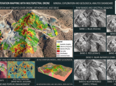
- Enables atmospheric correction, band math, and the isolation of iron oxide or clay alteration zones before exporting drape models for advanced targeting.
2.Qgis2threejs

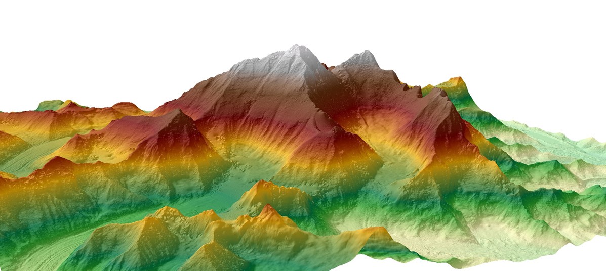
- Instantly extrudes digital elevation models (DEMs) into interactive 3D visualizations.
- Ideal for quickly assessing topographical constraints on permit boundaries or visualizing drill collar elevations before transitioning datasets into advanced 3D block modeling platforms.
3.QuickMapServices

- Eliminates the need to manually hunt for base maps by providing one-click access to Google Satellite, Bing Aerial, and ESRI Topo layers.
- Essential for ground-truthing drone imagery, digitizing structural lineaments, and verifying historical map coordinates.
4.Data Plotly

- Transforms the interface into a robust exploratory data analysis (EDA) platform.
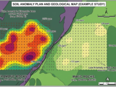
- Perfect for generating histograms, scatter plots, and boxplots for multi-element geochemical assay datasets, allowing geologists to define threshold anomalies dynamically.
5.Profile Tool

- Generates instant elevation profiles from DEM or DSM raster layers.
- Critical for planning field traverses, designing underground portal access, and extracting the accurate topographic surface line for 2D geological cross-sections.
6.Point Sampling Tool

- Extracts pixel values from multiple raster layers (such as geophysical grids or spectral bands) and appends them directly to overlapping vector points.
- Highly effective for assigning radiometric, magnetic, or elevation values to stream sediment and soil sample coordinate databases.
7.Value Tool

- Acts as an interactive digital probe. Hovering the cursor over the map displays the underlying raster values across multiple stacked layers simultaneously.
- Saves hours when spot-checking multispectral band ratios or inspecting pixel values in regional scale raster outputs.
8.Freehand Raster Georeferencer

- Allows for the rapid, interactive scaling and rotation of historical scanned maps or permit sketches directly over modern satellite basemaps.
- Bypasses the tedious process of entering manual ground control points (GCPs) for quick visual alignments and preliminary digitizing.
9.SRTM-Downloader

- Instantly fetches NASA Shuttle Radar Topography Mission elevation tiles for any active map canvas extent.
- Provides an immediate topographic baseline for remote, grassroots exploration targets where high-resolution LiDAR or drone topography is not yet available.
10.QGIS Resource Sharing

- Grants immediate access to standardized geological symbology libraries shared by the global open-source community.
- Ensures that structural measurements (dip/strike), lithological contacts, and vein surface models conform to professional cartographic standards.